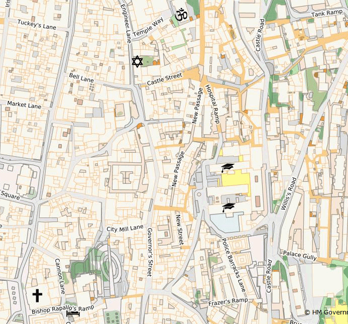
New updates to the Basemap layers have been effected and now reflect the latest changes applied by Tech Services Dept.
These include the new Topo labels which describe Gibraltar in greater and historic detail, all new Landmarks set, estate names etc.
Thanks to Mr. Madiera for his efforts on this.