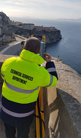
Technical Services Department is solely responsible for the upkeep and maintenance of the GLIS basemap and its infrastructure. In addition, it maintains a number of layers designed to help the user navigate the map as well as others designed to aid in the day-to-day function of the department. Much of this data has been published for conventional hard copy formats which are also available for download on the Geoportal.
The department also works closely with other Government departments, agencies, the Ministry of Defence and the emergency services to ensure that their bespoke GLIS applications work in a way which suits their needs directly.