We have just finished editing and uploading the latest version (Version 2.0) of the Gibraltar Basemap.
Not only have we updated the dataset, but we have also added new improvements to the map viewer, these are outlined below...
1. More details, more layers
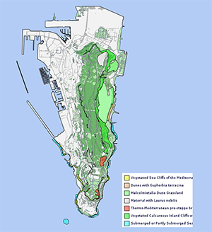
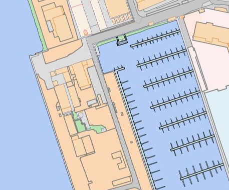
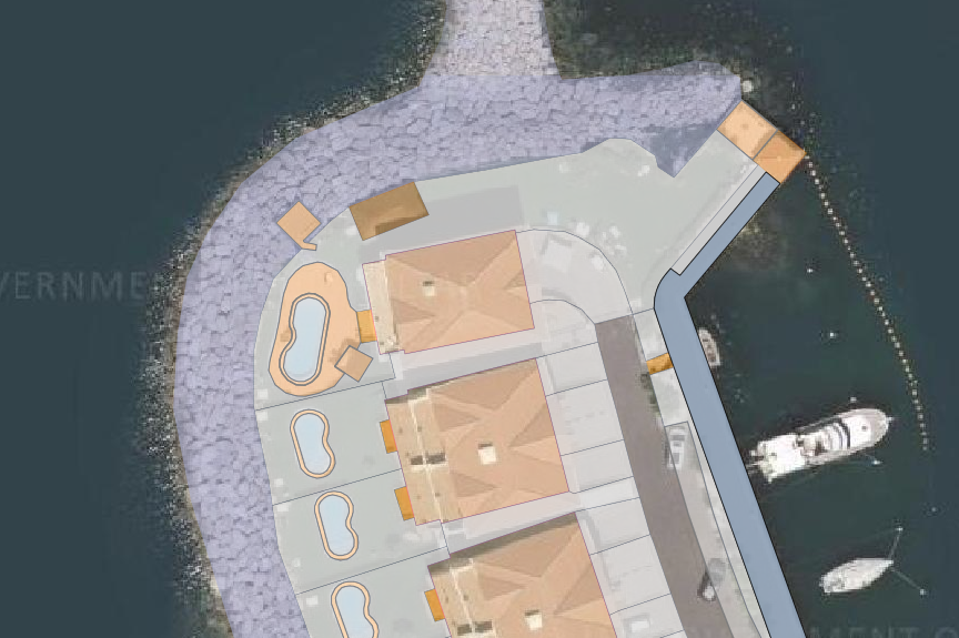
We have improved the details of the basemap + added more layers to the set...
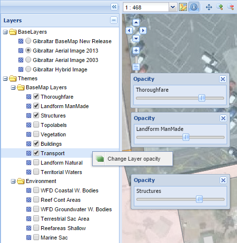
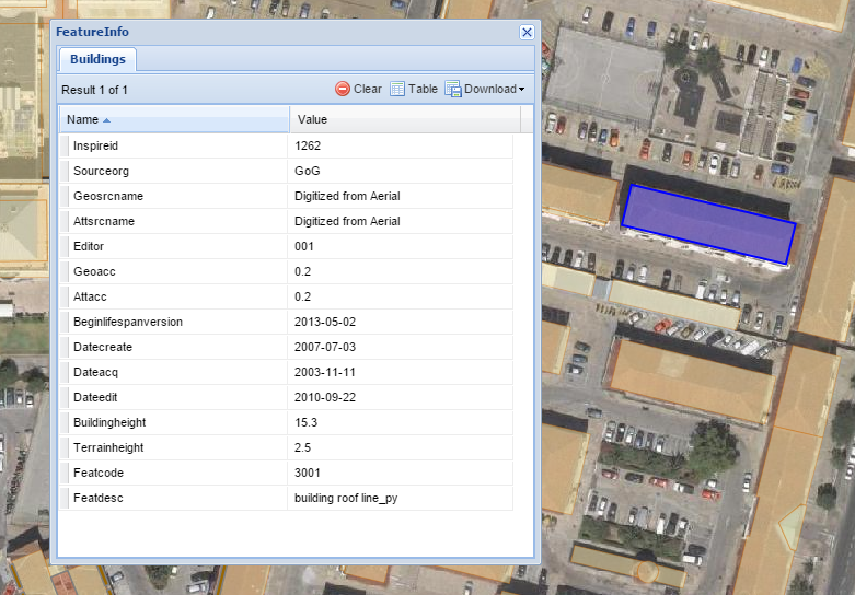
2. New Features Map Viewer
Better data table display with more download options...
New layer opacity options, you now have better blending options when displaying layers over aerial photo.