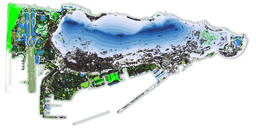
Following the successful launch of the Gibraltar Geoportal, the Department of the Environment and Climate Change together with the Information Technology and Logistics Department have recently finalised upgrading Gibraltar’s Geoportal. The Geoportal is comparable to products such as Google Earth and Apple Maps but is more interactive and contains additional environmental and geographic information that can be used by the public and businesses alike. New features contained in the latest upgrade include an address web finder and population statistics data for Gibraltar.
The Geoportal has been driven by the EU’s Infrastructure for Spatial Information Directive (INSPIRE) and forms part of HMGoG’s wider plans for e-Government. Improving access to environmental information, citizen engagement and increasing the efficiency of public services are just some of the benefits that the geoportal offers. The Department of the Environment and Climate Change alongside the I.T. & logistics Department will be producing more upgrades during the course of 2017 making Gibraltar one of the few European cities achieving INSPIRE compliance.
Further information on the functionality of the Geoportal can be obtained from the Department of the Environment and Climate Change. The portal can be accessed on www.geoportal.gov.gi.
Click here to visit the INSPIRE viewer. Click here to get help on using the new Official Address Register (OAR) Search tool.