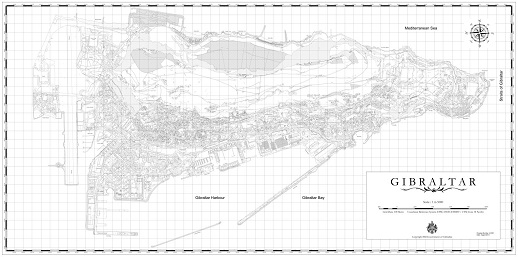
Two new map documents are now available to download in pdf format. The first is a typical 1:5000 colour map printed on a single sheet that emulates the format of traditional MOD maps of Gibraltar.
The second is a detailed 1:1000 map document spread over 47 individual sheets. The map shows road, building & estate names as well as many other geographical features all of which are listed in a comprehensive legend.