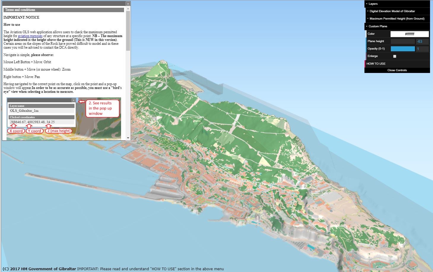
Following requests from users, the 3D Obstacle Limitation model has been updated to now show the maximum permitted heights relative to the ground level at the selected point.
This means that Developers no longer need to know the ground height at the selected location before being able to use the model. On the upper slopes of the Rock it has proved difficult to enter the required model and thus in these areas the user is referred to the Director of Civil Aviation who will be able to provide the required maximum height.
The Director of Civil Aviation can be contacted by e-mail: