- Details
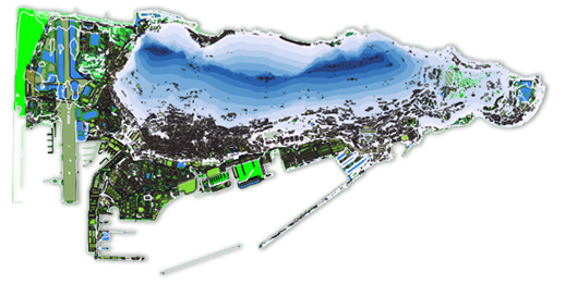
Following the successful launch of the Gibraltar Geoportal, the Department of the Environment and Climate Change together with the Information Technology and Logistics Department have recently finalised upgrading Gibraltar’s Geoportal. The Geoportal is comparable to products such as Google Earth and Apple Maps but is more interactive and contains additional environmental and geographic information that can be used by the public and businesses alike. New features contained in the latest upgrade include an address web finder and population statistics data for Gibraltar.

- Details
A new GIS layer has been developed by RAF Gibraltar, the Director of Civil Aviation and ITLD to describe to Developers and Constructors the height limitations on construction imposed by safety requirements of aircraft operating into Gibraltar Airport. The overlay will allow Developers to “drop a pin” on the location they have decided to construct to discover the maximum height they are allowed to build and not impinge on the safe operation of aircraft operating from the Airport.
Read more: Addition of OLS Layer - Height Limitations for Constructions
- Details
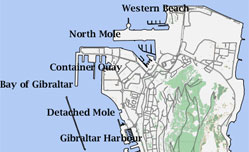
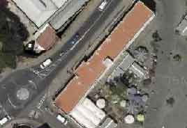
The Gibraltar base map has again been updated and now includes the new developemts around the Eastern Beach area, the new berths etc.
Thanks to Mr Madeira from Tech Services Dept for his efforts in digistising and producing the revised data set
We will be updating our search data to include building and various landmark names to increase your search options. Further updates to the basemap are also currently on-hand
- Details
Many of our users have requested a map of Gibraltar they can just download and use for their own projects.
We decided to create this and allow our users to download it for free.
- Details
We have just finished editing and uploading the latest version (Version 2.0) of the Gibraltar Basemap.
- Details
 We have replaced the existing Gibraltar imagery with a new orthophoto on the Geoportal.
This new image has greater resolution than the previous one and offers greater visual reference.
- Details
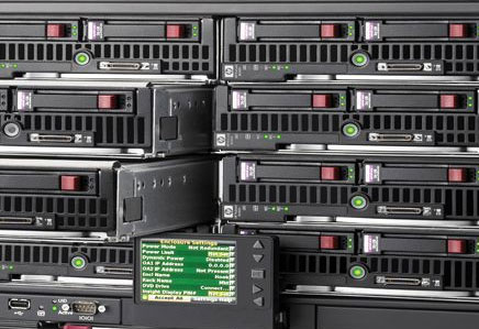 A new web server has been added and configured by the ITLD Systems Team to provide a High Availability service to our web servers. Special thanks to Karon, for his time setting this up.
If you experience any problems or bugs please report them to us.
- Details
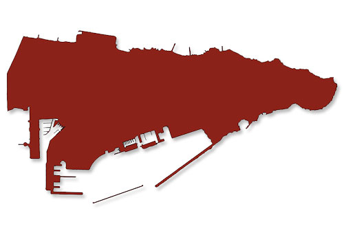 The GIS.ITLD team have calculated Gibraltar’s true surface area taking into account the slope of the rock and other geological features.
This is believed to be the first time Gibraltar’s area has been calculated to this level of accuracy while taking into account the angle of the Rock.
The total Surface Area of Gibraltar has been calculated to be 8.40Km2. The total Planar Area has been calculated at 6.55Km2
Coordinates: 36°7′N 5°21′W
Max Height: 426 m
Length of the Rock: 6km approx
Planar Area: 6.55Km2
Surface Area: 8.40Km2
Water: 0
Caves: 140+
Roads: more than 48km
Tunnels: 52km approx
Population: 29,752 (2011 estimate)
All rights reserved.